Parma Park Information
A large park located in Santa Barbara California
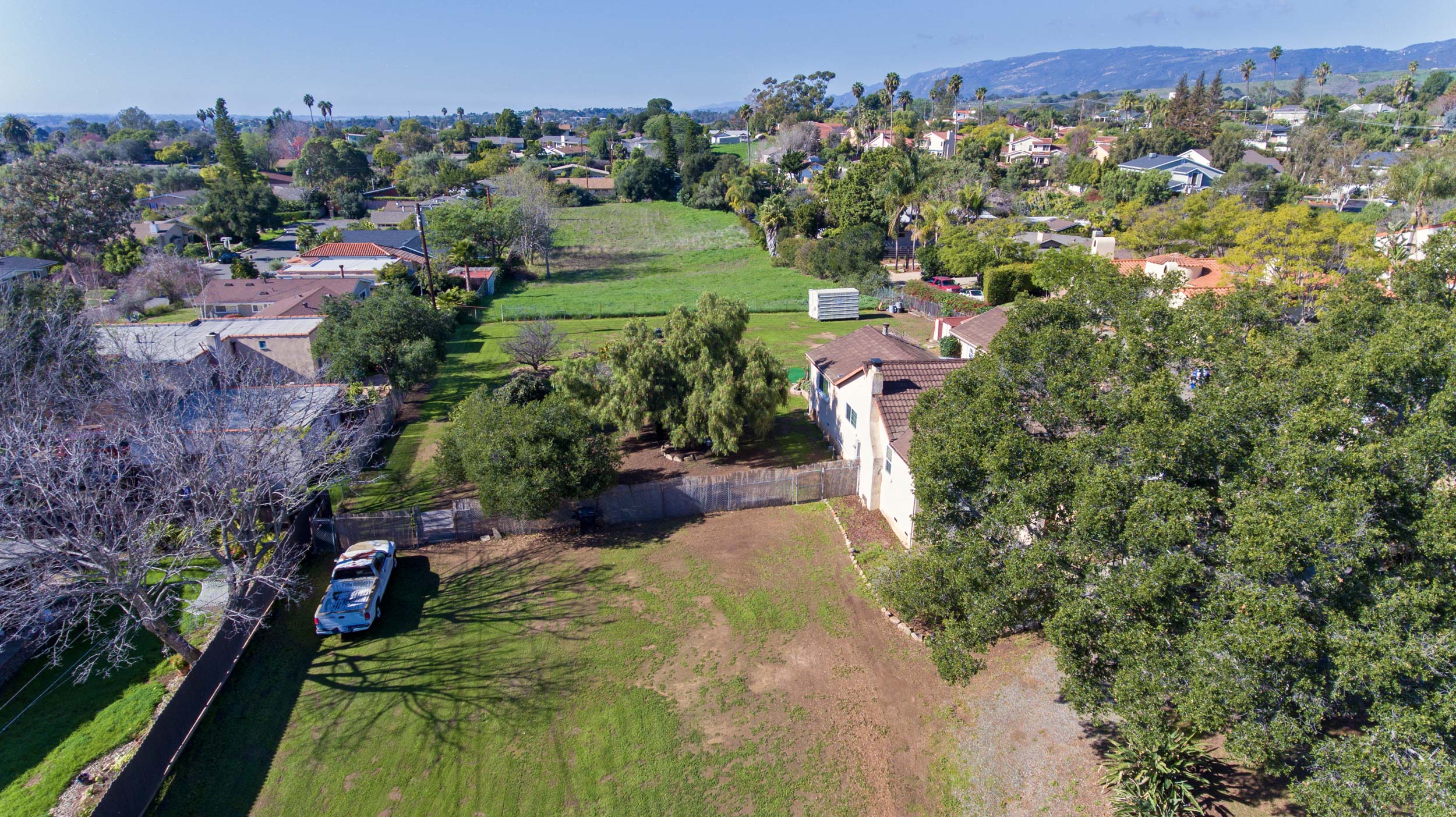
We recently listed some properties next to Parma Park and found this wonderful article written by Ray Ford for The Santa Barbara Independent. You can find the full park information and article available directly on the Independent’s website at www.Independent.com
HIGHLIGHTS
An excellent area to bring kids for their first hike. Close to the city yet a very remote feeling. There are trails leading in a variety of directions, making it possible to take a short hike or combine sections to create a 3-4 mile hike. The canyon section is covered by a beautiful oak forest. It is possible to create a 2.5 mile loop by walking along a short stretch of Mountain Drive.
DIRECTIONS
Take Sycamore Canyon Road north to Stanwood Drive. Turn left and continue 0.7 miles on Stanwood to a sharp turn in the road where you will see the Parma Park sign. Park on either side of Stanwood but please do not block the park entrance. There are several entrances to the upper canyon on El Cielito and Mountain Drive. To reach the upper entrances follow Stanwood 0.5 miles to El Cielito. The entrance into the upper meadows where the paragliders land is 0.1 mile on El Cielito. Or continue a quarter mile to Mountain Drive. Turn right. The first Mountain Drive trailhead is 50 yards along the way. It is 0.4 miles further to a trailhead leading down into the west fork of Sycamore Creek.
SETTING THE SCENE
It is an anomaly of sorts-there are almost no trail signs telling you where Parma Park begins, nor are the routes seemingly planned out. As you head up a hill and down through a canyon, suddenly you find yourself looking over at another trail shooting off, cutting up over a knoll or heading over to another part of the canyon. Rarely will you go more than a few hundred yards or so without spotting another one shooting off to who knows where.
Actually it is kind of refreshing to find it this way, more a maze of trails taking you here or there, depending on your mood and the shape you are in. Surprisingly, the park is one of Santa Barbara’s best kept secrets, yet is the largest block of undeveloped green space you will find anywhere in the city. Bounded by Stanwood, Mountain Drive, El Cielito, and Coyote roads the 200 acres of thickly wooded canyons and rolling chaparral and grass-covered hillsides form a great horseback riding and hiking area.
THE HIKE
The first time I went hiking in Parma Park, it had just finished raining and the water was cascading down Sycamore Creek. As I walked up the main road I noticed trails leading off to the east and west but it was too wet to explore them so I continued up the road. It wasn’t too far before I came to a fork in the road at the edge of a stand of tall eucalyptus trees. An owl, hidden somewhere in the upper branches, hooted again and again. I turned right and followed the road down to the creek where I watched the water spill over it. The owl continued to hoot and the noise of the water provided a mesmerizing backdrop. The branches of the ancient oak trees along the path created interesting patters against the green hillsides. What a beautiful place I thought as I retreated back to my car.
This was the first of many trips to the park. I especially like to come here in the springtime when the creek is running, the hills are covered in green, and the flowers are in blossom. Though it is possible to wander almost anywhere, since there are so many intersecting trails, there are really two basic sections to the park: the canyon section, which takes you up and around the west fork of Sycamore Creek; and the chaparral summit, which leads up the main ridge on the east side of Sycamore Creek to a vista point and then back down a secondary ridge through the chaparral-covered Rowe Trail.
From the locked gate at the bottom of Parma Park, a short walk up the main road leads to a picnic area. There are several tables under the oaks where you can enjoy a lunch, and the cars are near enough that you can head out on a hike and then have lunch afterward without having to take things with you.
Click to enlarge photo
From the picnic area there are three choices. To the right the Rowe Trail cuts across the creek and heads east to parallel Stanwood. I usually follow this trail back from the summit loop hike rather than starting out on it. The dirt road leads straight ahead up the east fork of Sycamore Creek. Two hundred yards leads you to the fork in the road I described previously. The right fork will take you up to the summit; the left fork up and around the hillsides to the west fork of the creek.
Immediately to the left, or west, of the picnic area is the route leading up into the canyon I prefer (perhaps there is something in me that prefers walking in a counterclockwise direction when I make loop trips). The trail leads up into what appears like a very narrow area, but as you go a bit into the canyon it opens into a very pretty oak-covered section. The creek is small but the sound adds a very nice quality to it.
Click to enlarge photo
Off to the right a small trail veers up the hill. This leads up to the top of the hills and still another trail that will take you into the upper canyon. This is the route back down if you continue all the way around on the loop.
Right beyond this you will cross to the left side of the creek then start uphill and work your way out of the canyon. The trail turns back to the left as you climb up and then suddenly you come out into a series of open meadows. From here the trail continues to climb up through more and more meadows. There are houses on your left but they are hidden enough as not to be too intrusive.
You will begin to notice tall white poles in the meadows, some of them with flags attached. These are used by the paragliders to gauge the wind speed and direction as they come in for a landing. The take off point is on Gibraltar Road near the crest of the Santa Ynez Mountains.
Click to enlarge photo
As you continue up and around the edge of the meadows you will spy clusters of old, gnarled oaks and the dramatic shapes of beautifully sculptured sandstone boulders. Near the top of the meadows the trail turns to the right toward the mountains and soon you will find yourself topping out on Mountain Drive. From this point you can return the way you came, or if you would like to make this a loop hike, follow Mountain Drive east for 0.4 miles until you reach a dirt road leading back down into the park. There is a cable across it similar to what is down at the park entrance and it is easy to spot.
Click to enlarge photo
The dirt road drops very gently down into the canyon, paralleling Mountain Drive but just below it around the upper end of the canyon then back south and down the left side of Sycamore Creek. A quarter mile of walking brings you out onto the lower foothills where you can take one of the short connector trails directly down to the picnic area or you can continue to the left until you reach the sycamore trees where you will find the dirt road leading back to your car.